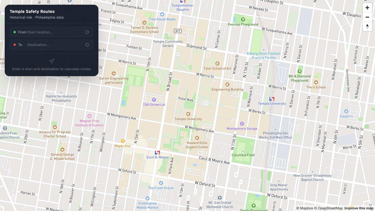
Temple University · Main Campus
A better way
to walk Temple.
Compare walking routes around campus by travel time and nearby reported incidents.
Compare walking routes.
Enter a start and destination to compare estimated walking times and how each route weighs nearby incidents.
Safest
Gives more weight to reported incidents and may take a longer path to avoid them.
Fastest
Finds the route with the shortest estimated walking time.
Balanced
Weighs walking time against past incidents, with less emphasis on detours.
See what’s behind the route.
TuMaps uses Philadelphia’s open incident data to score nearby street segments. More recent and more severe reports carry more weight.
Routes reflect historical reports. Conditions can change.